GIS Tools
Below is a list of some of the GIS tools and mapping made by or for the San Francisco Planning Department. Click on the images to open the tool or map. For more information, please contact
CPC.GIS@sfgov.org
.
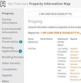
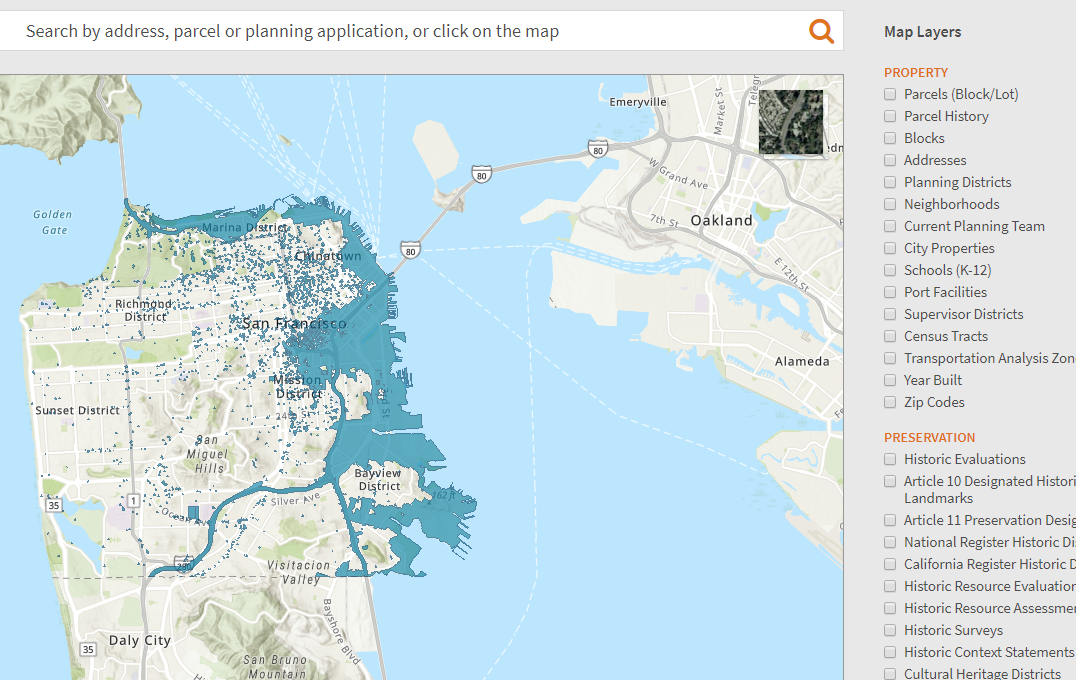
Property Information Map
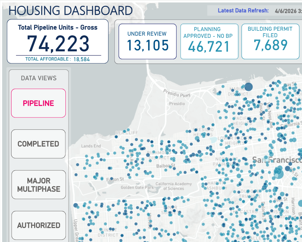
Housing Dashboard
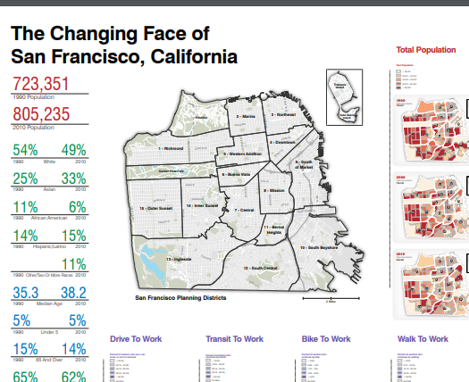
Census Atlas Poster
CEQA Exemptions
Duboce Historic Resources Survey
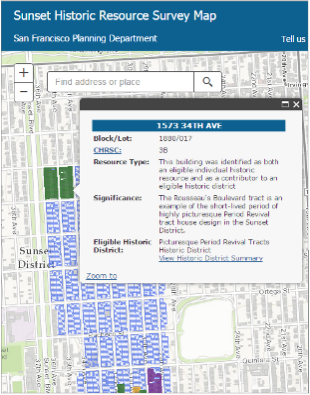
Sunset Historic Resources Survey
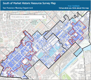
SoMa Historic Resources Survey
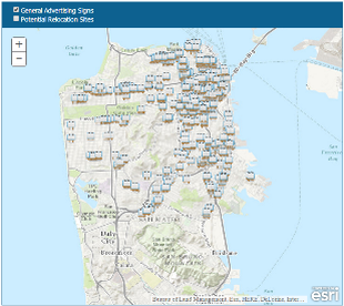
General Advertising Signs
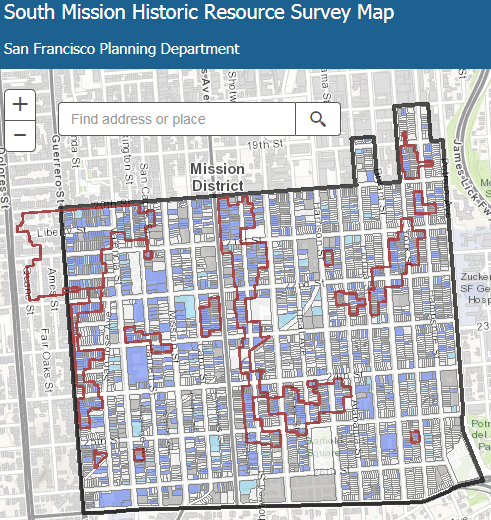
South Mission Historic Resources Survey
PIM - Map Viewer
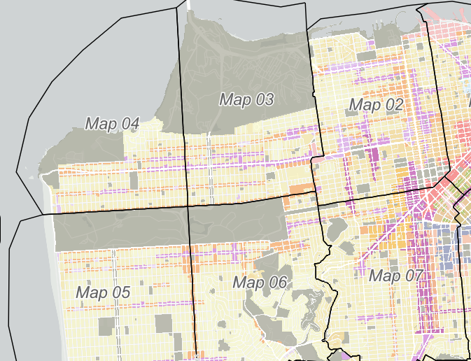
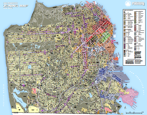
Zoning Maps
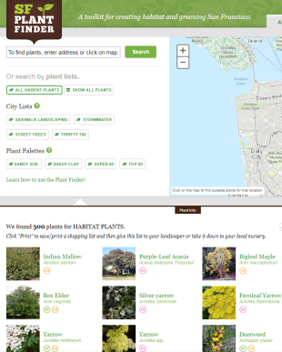
SF Plant Finder
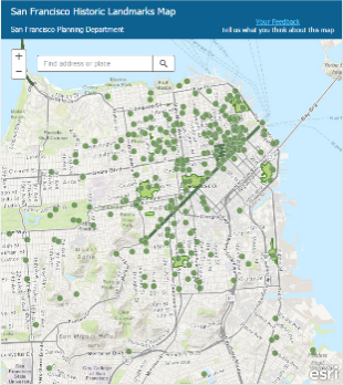
Historic Landmarks
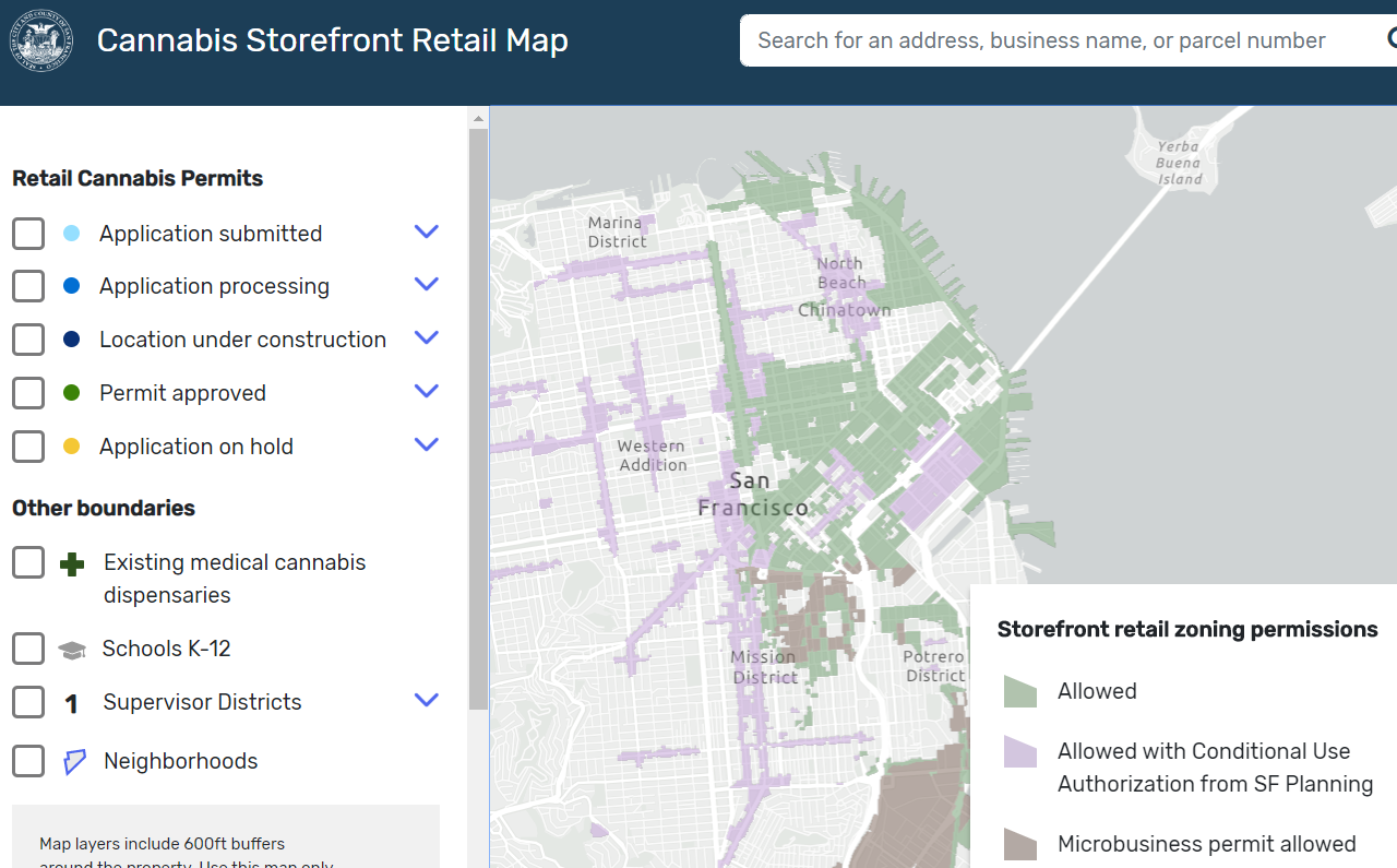
Cannabis Retail
Zoning Districts Poster
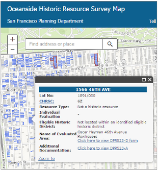
Oceanside Historic Resources Survey
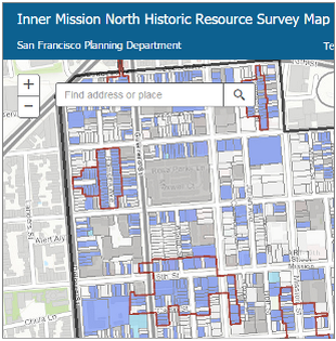
Inner Mission North Historic Resources Survey
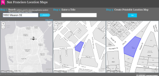
Location Maps
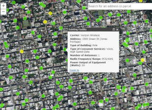
Wireless Facilities
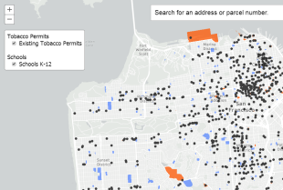
Tobacco Permits
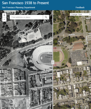
1938 Swipe Map
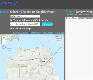
SF Find
Permits In My Neighborhood
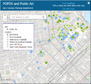
Privately Owned Public Open Space
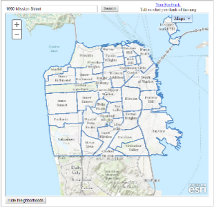
Neighborhood Organizations
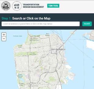
Transportation Demand Management
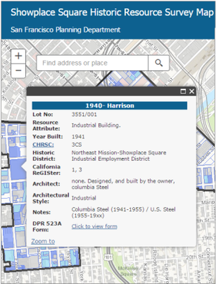
Showplace Survey
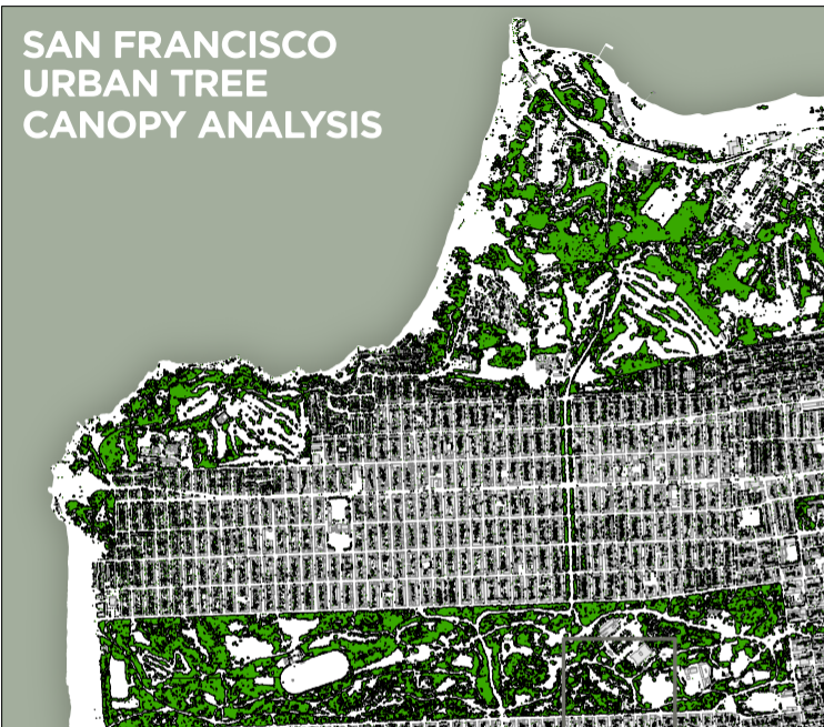
SF Urban Tree Canopy Poster
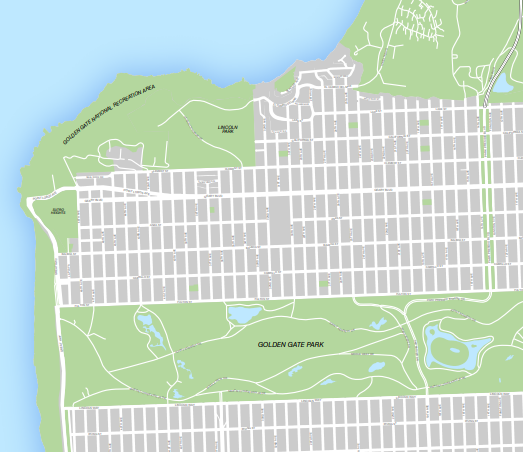
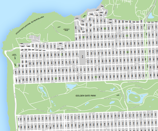
Street Map Poster with Buildings
Street Map Poster without Buildings
Street Map Poster with Block Numbers